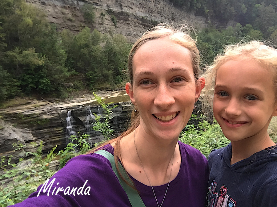
After Upper and Middle Falls, and then the lookout, we made our way to Lower Falls. To be honest, at this point, I had had it with hiking and declined to take the steps down to Lower Falls.
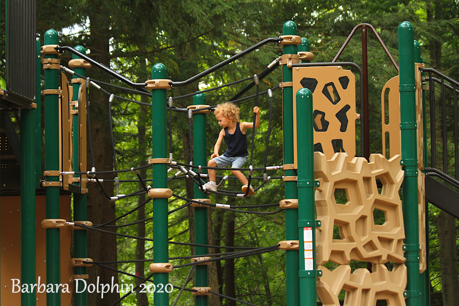
Miranda and Rubi still had energy and of course wanted to see yet another waterfall, so off they went.I am glad they had some Mother -daughter time! Us that stayed above weren’t without things to do, like Mireia practicing her Ninja skills on the playground equipment.
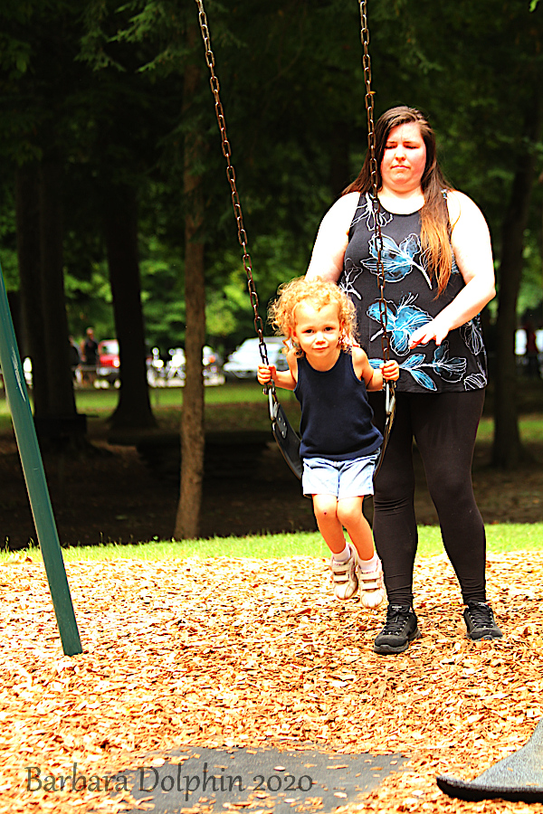
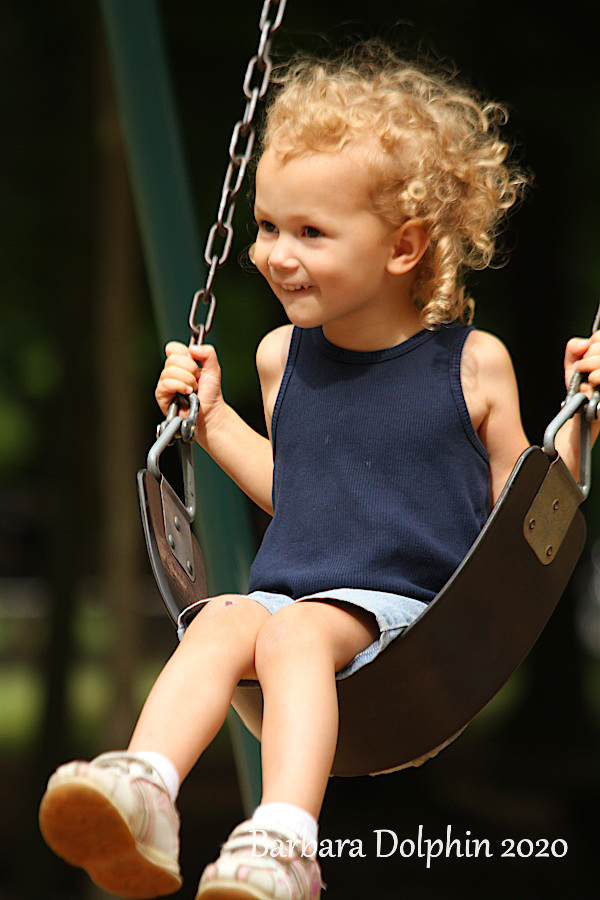
Mireia has a willing Aunt Jenny to push her in the swing.
She is one happy girl.
When Rubi returned from even more hiking, she wasn’t too tired to have a race with her brother…
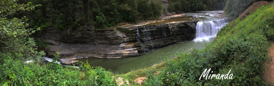
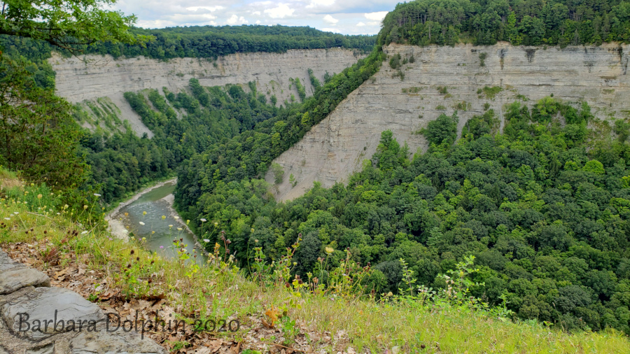
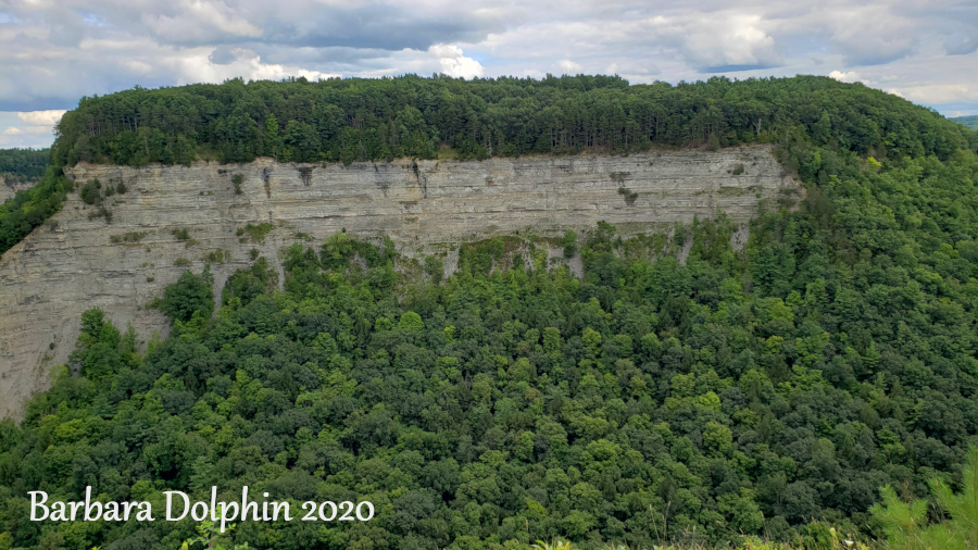
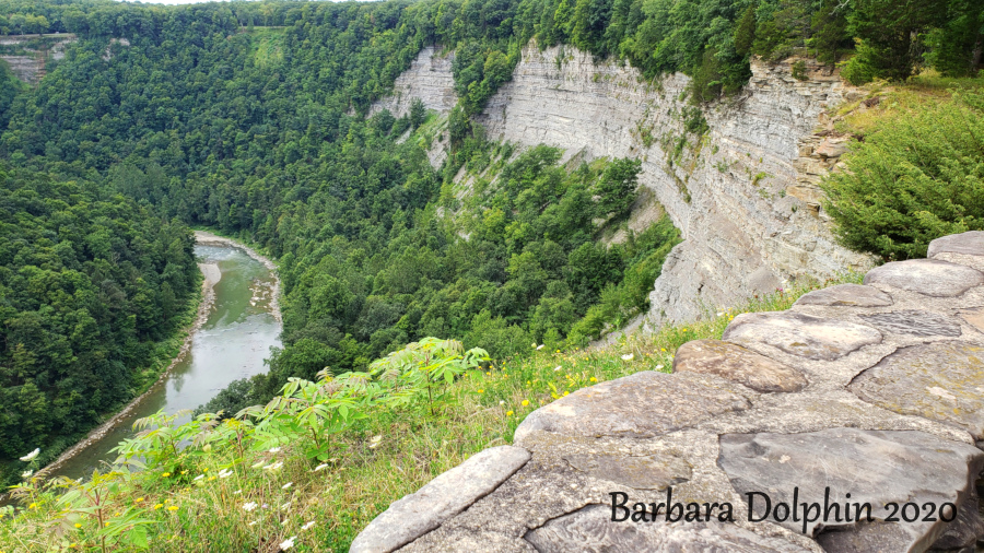
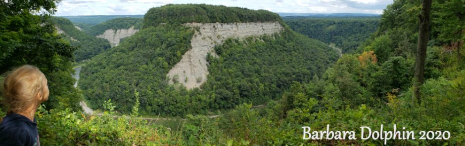
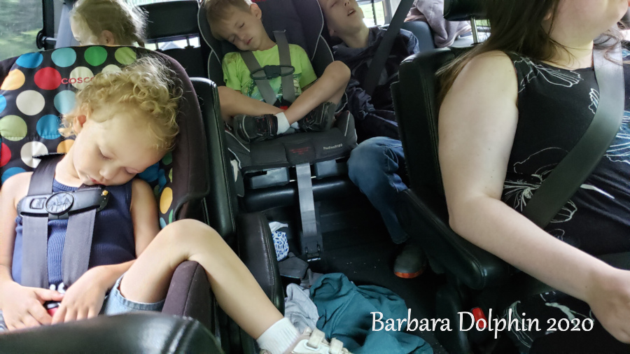
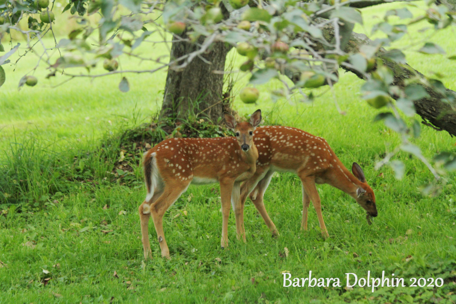
Now when we finished with the Lower falls and the playground, it was time to head home. Even though I was so tired, I had my heart set on seeing the beautiful gorges there were to see. Now Miranda had to be tired, ready to have dinner, and still a long way to the house, but she was so good to me and drove my tired soul to each lookout.Letchworth Gorge, in Letchworth State Park, is sometimes called “The Grand Canyon of the East”. Located in western New York southwest of Rochester, the gorge is best known for the nearly vertical cliffs up to 550 feet (168 meters) and higher, which bound the Genesee River.The rock seen in the walls of Letchworth gorge consist of shales, siltstones and sandstones that were deposited in a shallow sea that covered much of the eastern U.S. during the Late Devonian Period. A volcanic ash layer in shales near the Mount Morris dam, at the lower end of the gorge.Rocks in the lower part of the gorge consist chiefly of black to gray shales (West River, Middlesex, Cashaqua and Rhinestreet formations). Upstream, progressively younger rocks are exposed, which feature increasing amounts of siltstone and sandstone. The physical character of Letchworth gorge varies along its length. The upper and lower sections of the gorge are narrow and deep, cut into the bedrock. In contrast, the middle section is a still deep but broad, relatively flat bottomed valley, variously bounded along its walls by either bedrock or glacial sediments.Needless to say, hiking three waterfalls made for a tired ride home.What a sight to see when we arrived home, deer eating under the apple tree.


1 Response
[…] our long day at Letchworth State Park the day before, Taughannock State Park in the Fingers Lake Region, seemed like a fun rest day for […]