Perth Royal Show: The District Displays part 2
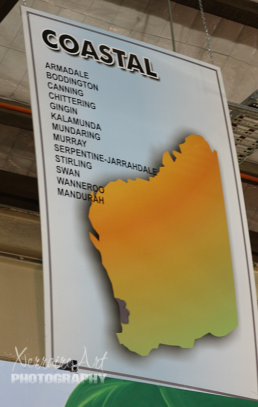
Since this is a region around Perth, this is one more area I have spent some time in, as we live here 🙂
Traditionally this area was under the care and control of the Yued, Whadjuk, Binjareb and Wardandi Noongar peoples, whose hunter-gathering firestick farming practices maintained the climax vegetations old growth forests observed at the time of first contact. At this time the Kwongan heathland was much more widespread along the coast.
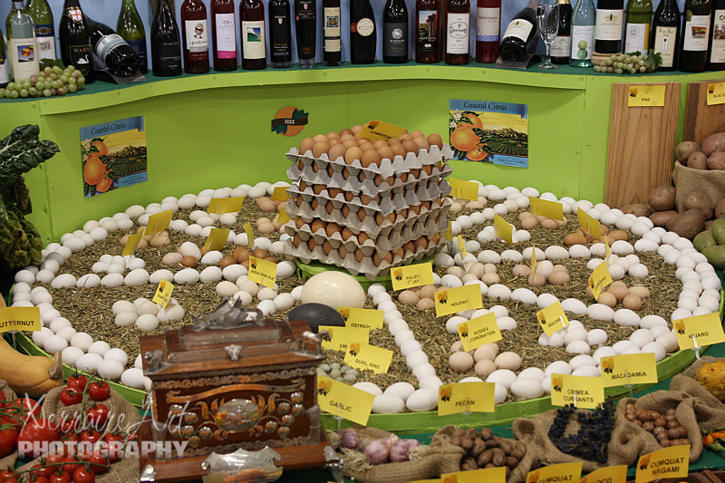
European settlement led to many of the wetlands areas being drained for land reclamation to take advantage of the fertile soil for farming enterprises.
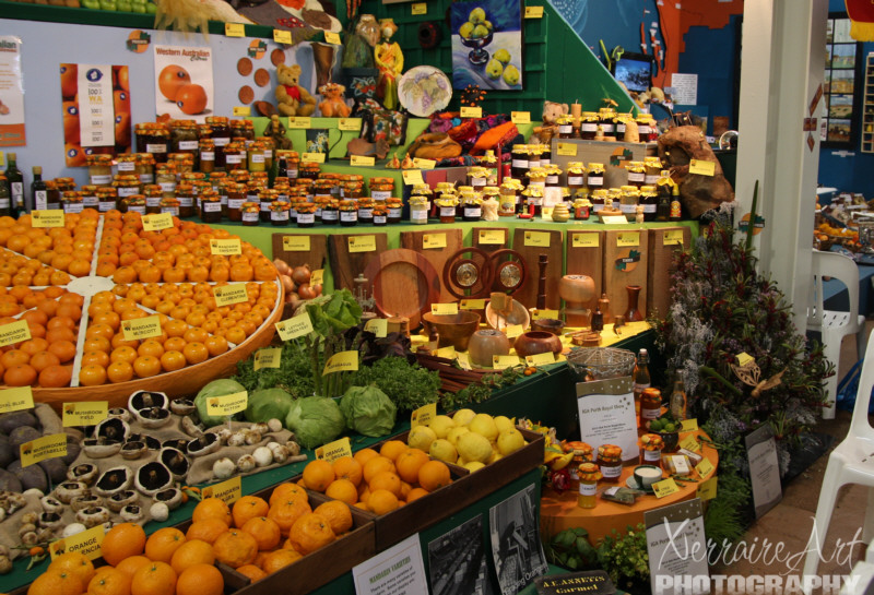
It amazes me all that grows here given during such hot months in the summer they get little rain.
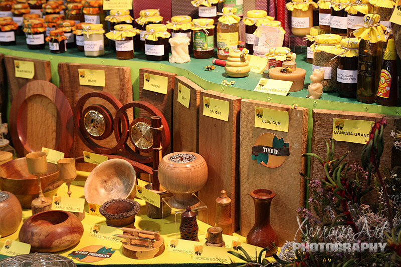
The heath is scattered with woodland of banksia and other trees including the red-blossomed quandong (desert peach) and firewood banksia. Going further inland especially in river valleys where the soil is better there are eucalyptus woodlands including tuart.
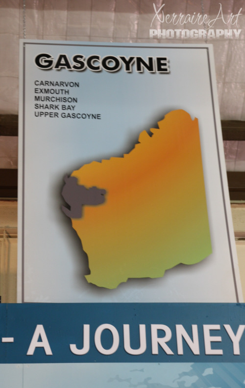
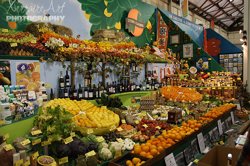
An area of WA I have not yet been: The Gascoyne has the lowest population and lowest population density of any region of Western Australia, with a population of about 14,500 people. The majority of residents are non-Aboriginal people born in Australia (74%). Just over half live in Carnarvon (8,616) where Aboriginal residents account for 18% of the population. Other centres are Exmouth, Denham, Gascoyne Junction and Coral Bay.
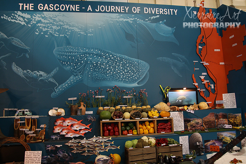
The Gascoyne has a moderate arid tropical climate. It is generally warm all year round, with mean maximum daily temperatures ranging from 22 °C (72 °F) in July to 35 °C (95 °F) in January. The region receives about 320 days of sunshine per year. Annual rainfall is low and variable, averaging about 200 mm (8 in), most of which occurs as a result of cyclonic activity. Because of the semi-arid climate, most of the Gascoyne is covered in scrub, primarily spinifex and mulga, with very little tree cover.
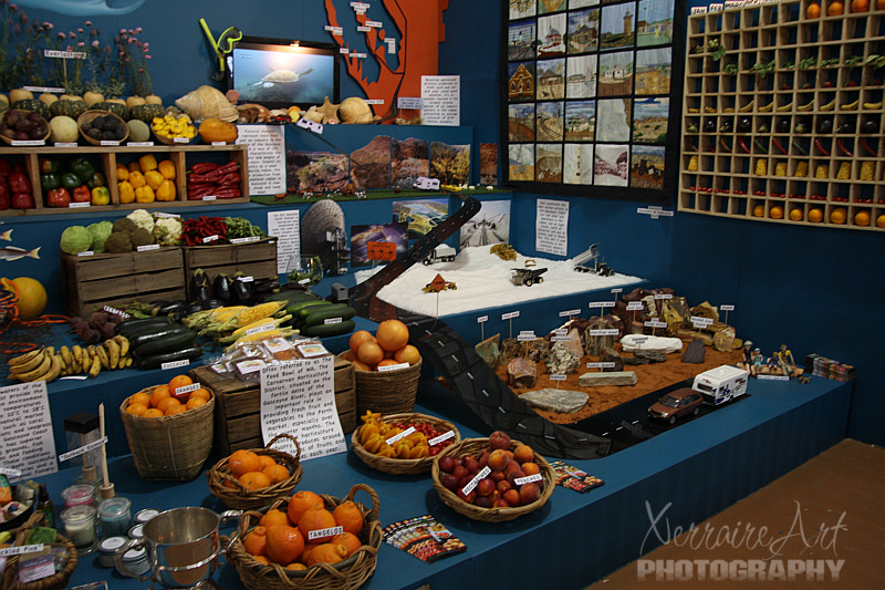
Horticulture is the major industry of the Gascoyne region. Bananas, tomatoes, grapefruit, mangos, table grapes and a range of vegetables products are grown along the Gascoyne River. Climatic advantages enable the growers to meet out of season demand both locally and in export markets.
Fishing is also a major industry with prawn, scallop, crab and wet line fishing operations based in Carnarvon and Exmouth. In the mining sector, salt and gypsum are mined at Lake MacLeod, north of Carnarvon.
Tourism is an important industry, due to the warm dry climate and the long coastline, which includes the Ningaloo Reef and the Shark Bay World Heritage Site.
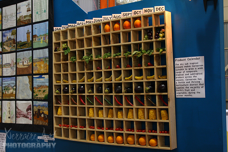
Wouldn’t we in Maryland LOVE this length in our growing season? I can’t imagine sweet Maryland corn 9 months of the year!
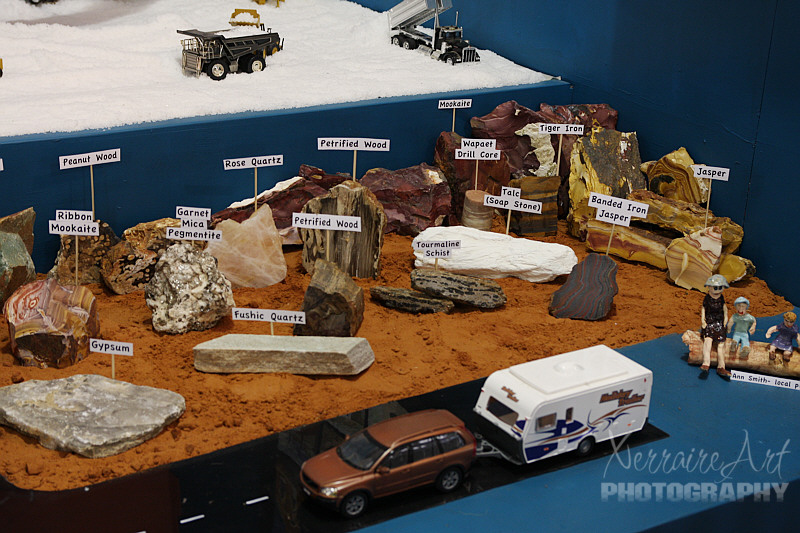
The Gascoyne road network is under increasing pressure from fast growing industries in the Region. Forming the main link between the regional centres of Geraldton, Carnarvon, Karratha and Port Hedland, North West Coastal Highway (NWCH) is a strategically important land transport corridor for industry, defence, freight and tourism.
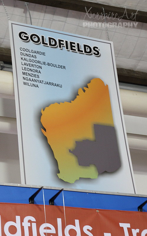
Another area of WA I am not familiar with: The Goldfields-Esperance region is the largest of Western Australia’s regions, with an area of 771,276 km². It is mostly a low and flat plateau of extremely ancient Precambrian rocks which have been stable since long before the Paleozoic. Because of the extreme geological stability and the absence of glaciation since the Carboniferous, the soils are extremely infertile and generally quite saline.
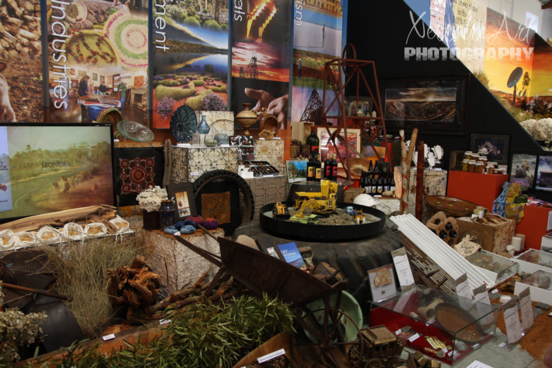
The economy of the Goldfields sub-region is based on the extraction and processing of various mineral resources, primarily gold and nickel. Further south near Esperance, the economy is based on agriculture and fishing, with wheat and barley widely grown; however, this requires huge inputs in fertilisers because of the sandy nature of the soils and is a major threat to the region’s great plant diversity.
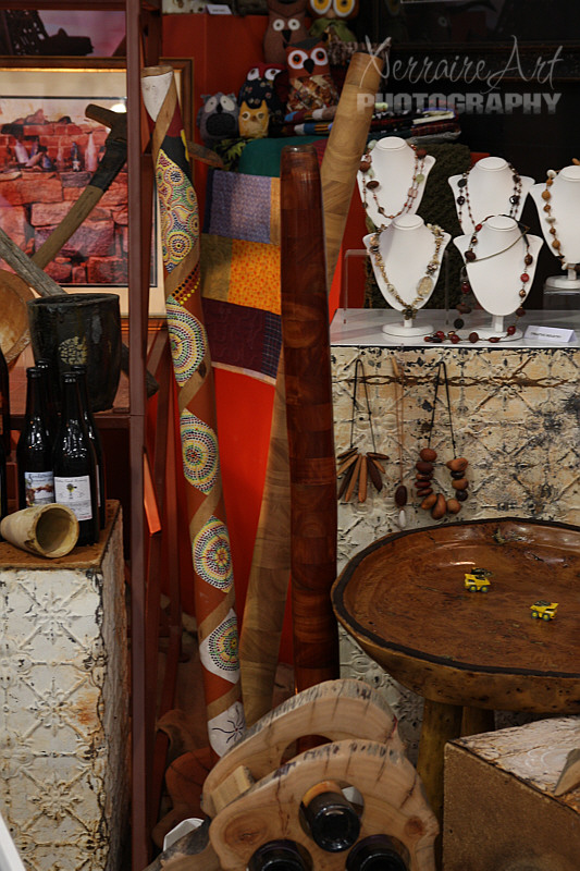
It has a population of about 59,000 people, about half of whom live in the City of Kalgoorlie-Boulder. Another quarter live in the Shire of Esperance, and the remaining shires are very sparsely populated. Nearly 10% of the region’s population are of Aboriginal descent, which is substantially higher than the state as a whole.
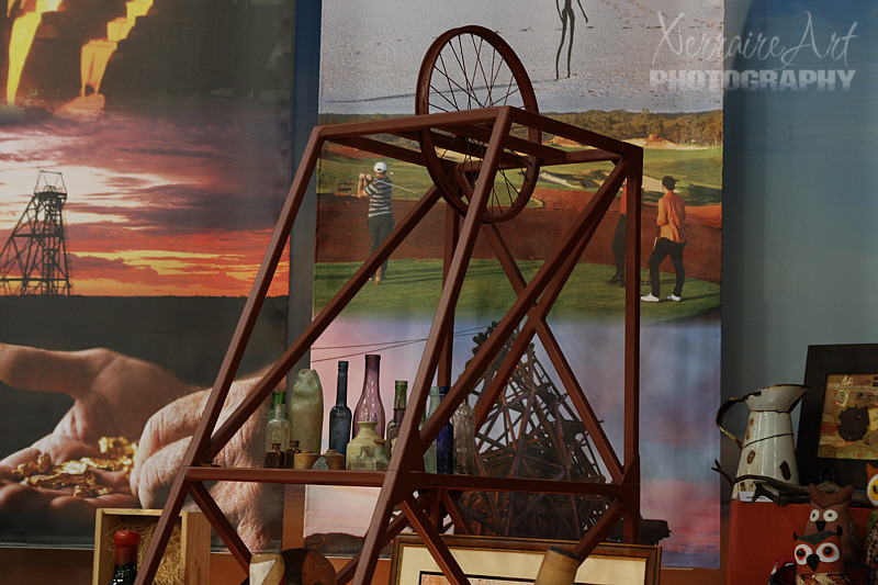
Steeped in history and outback legend, the Goldfields is dotted with historic settlements, ghost towns and stories of fortunes made and lost. For many, the Goldfields is the real Australia. Here you can have a true adventure – camping under brilliant canopies of stars, experiencing Aboriginal culture and seeing kangaroos and other unique wildlife. At the centre of the Goldfields is the city of Kalgoorlie-Boulder. A day’s drive or comfortable six hour train ride from Perth, it’s become a living museum for the still flourishing mining industry.
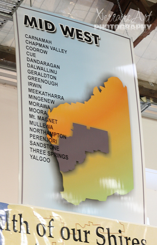
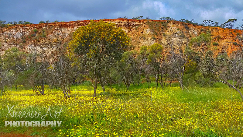
This area was one that John has taken me to this time and our first time together looking for wildflowers. It is a very sparsely populated region located on the west coast of Western Australia, extending about 200 km north and south of its administrative centre of Geraldton. To the east it extends more than 800 km inland to Wiluna in the Gibson Desert.
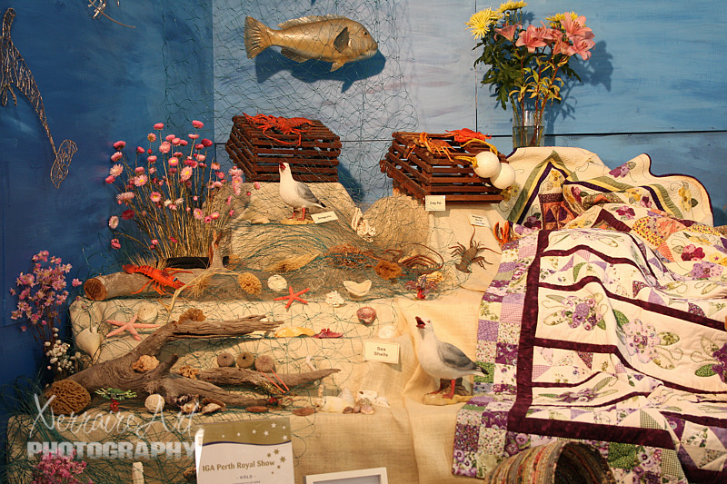
The economy of the Mid West region varies with the geography and climate. Near the coast, annual rainfall of between 400 and 500 mm allows intensive agriculture. Further inland, annual rainfall decreases to less than 250 mm, and here the economy is dominated by mining of gold, nickel and other mineral resources. The Mid West also has the highest value fishing industry in Western Australia.
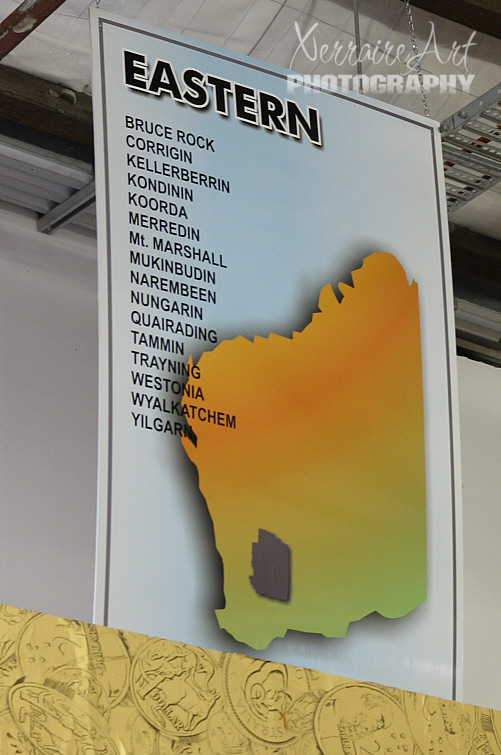
Another area we touched on this last time together, also looking for wildflowers.
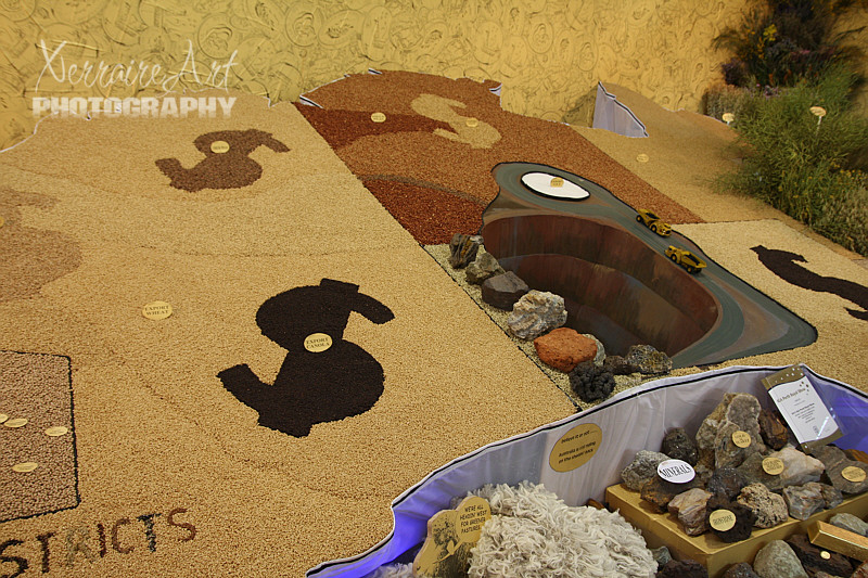
Today’s explorer encounters open farmlandvistas that change with the seasons. Yellow fields of canola and green fields of wheat, oats or barley in winter and spring give way to the golden hues of early summer and the patchworkquilt of ploughed fields in the autumn. You will see that the Wheatbelt’s primary enterprise is the growing and transport of grain. Broad acre dry land farming is the backbone of the Eastern Wheatbelt. Around 40% of the States grain harvest comes from the region.
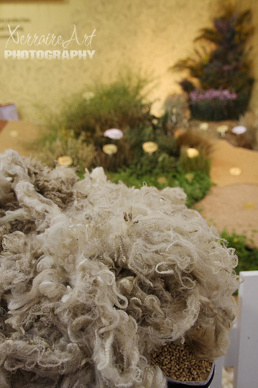
It is very arid, and is mainly used for pastoral farming of sheep. Mining of gold, nickel and iron ore also occurs. The remainder of the region is highly suited to agriculture, and is the source of nearly two thirds of the state’s wheat production, half of its wool production, and the majority of its lamb and mutton, oranges, honey, cut flowers and a range of other agricultural and pastoral products.
I was pleased to have a trip around Western Australia in one place. What a great time the Perth Royal show was. But even more fun was to come at night….


