Harpers Ferry
Naturally I had to take John to one of my most favorite places on earth, Harpers Ferry, West Virginia.
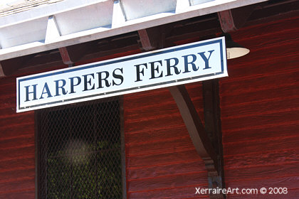
Harpers Ferry is wedged between the Potomac and Shenandoah rivers and bounded on the west by Bolivar Heights. Not long after the descendants of Europeans pushed their way through the Harpers Ferry Gap, it became apparent that this site was no ordinary place.
Robert Harper, a Philadelphia builder, gave the community its name. He settled there sometime between 1734 and 1747. He also experienced in 1748 the bane of the ferry’s very existence — flooding on the two rivers.
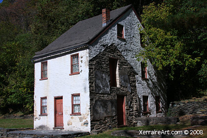
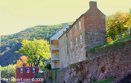
In 1761, Harper established a ferry across the Potomac, making this community a major jumping off point for settlers seeking new lands in the Shenandoah Valley and points west. Over the next 30 years, he also built a grist mill on the Shenandoah River and the huge stone house that bears his name.
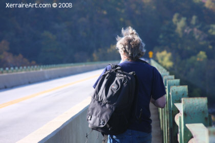
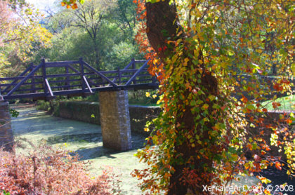
Before arriving to Harpers Ferry though, we made some stops on the road that winds around the mountain at a bridge with a lovely view.
We also climbed down to a waterfall I remember my parents taking me to.
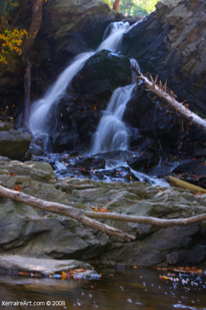
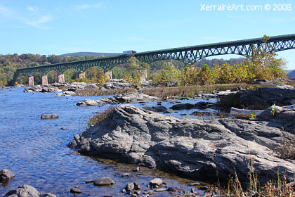
Then we walked deeper to see the view of the bridge from the bottom.
Â
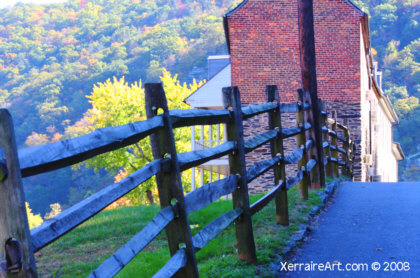
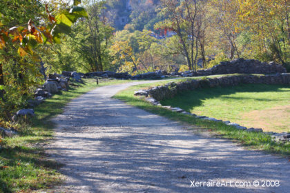
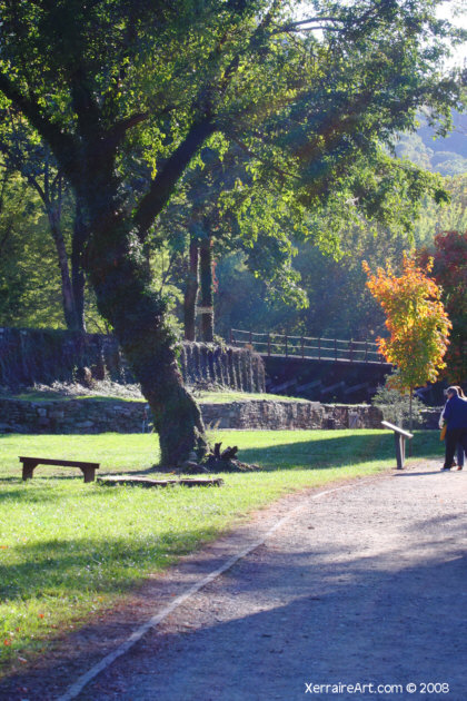
We arrived in town to discover parking was going to be a problem. I expected that on a weekend, but on a Monday? So we parked outside of town and walked along the Shenandoah Canal…something I’ve always wanted to do anyway.
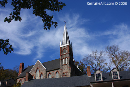
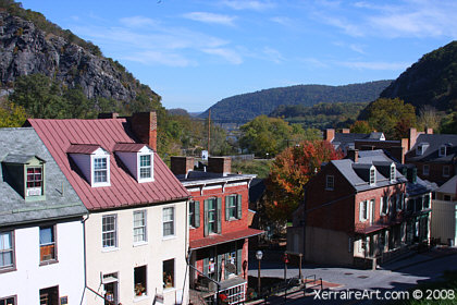
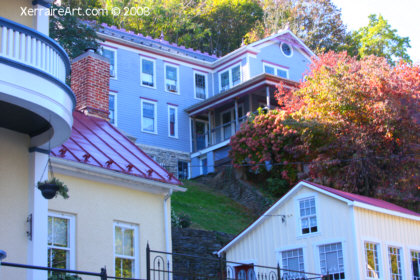
It was good though, to finally arrive in the town that is Harpers Ferry…
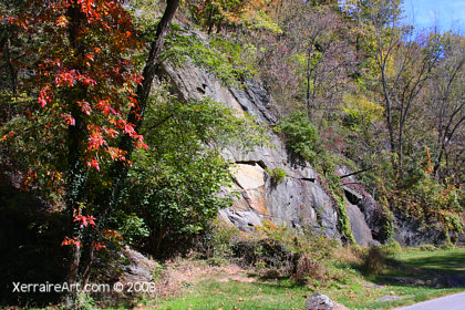
The plan was to get the hard part over with first…to climb the many steps up to Jefferson Rock.
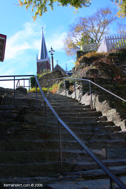
I don’t know how many hundred of steps there are, the difficulty seems to be that they are sort of carved out of rock and uneven. But we finally reached the top.
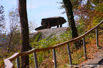
SEVERAL LARGE MASSES OF HARPERS SHALE, PILED ONE UPON THE OTHER, comprise Jefferson Rock. The name of this landmark derives from Thomas Jefferson, who stood here on October 25, 1783. (The uppermost slab of Jefferson Rock originally rested on a natural stone foundation so narrow that one was able to sway the rock back and forth with a gentle push. Because this natural foundation had “dwindled to very unsafe dimensions by the action of the weather, and still more, by the devastations of tourists and curiosity-hunters,” four stone pillars were placed under each corner of the uppermost slab sometime between 1855 and 1860.)
This is what Jefferson said:
“The passage of the Patowmac through the Blue Ridge is perhaps one of the most stupendous scenes in Nature. You stand on a very high point of land. On your right comes up the Shenandoah, having ranged along the foot of the mountain a hundred miles to seek a vent. On your left approaches the Patowmac in quest of a passage also. In the moment of their junction they rush together against the mountain, rend it asunder and pass off to the sea. The first glance of this scene hurries our senses into the opinion that this earth has been created in time, that the mountains were formed first, that the rivers began to flow afterwards, that in this place particularly they have been so dammed up by the Blue Ridge of mountains as to have formed an ocean which filled the whole valley; that, continuing to rise, they have at last broken over at this spot and have torn the mountain down from its summit to its base. The piles of rock on each hand, but particularly on the Shenandoah, the evident marks of their disruptions and avulsions from their beds by the most powerful agents in nature, corroborate the impression.
But the distant finishing which nature has given the picture is of a very different character. It is a true contrast to the former. It is as placid and delightful as that is wild and tremendous. For the mountains being cloven asunder, she presents to your eye, through the cleft, a small catch of smooth blue horizon, at an infinite distance in that plain country, inviting you, as it were, from the riot and tumult roaring around to pass through the breach and participate in the calm below. Here the eye ultimately composes itself; and that way, too, the road happens actually to lead. You cross the Patowmac above the junction, pass along its side through the base of the mountain for three miles, the terrible precipice hanging in fragments over you, and within about 20 miles reach Frederictown and the fine country around that. This scene is worth a voyage across the Atlantic.”
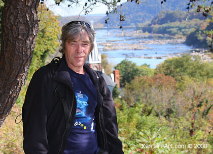
I am not sure John agreed. Of course he was a little breathless to tell me his full impression.
After a few moments there, I suggested we climb even higher…
 Â
Â
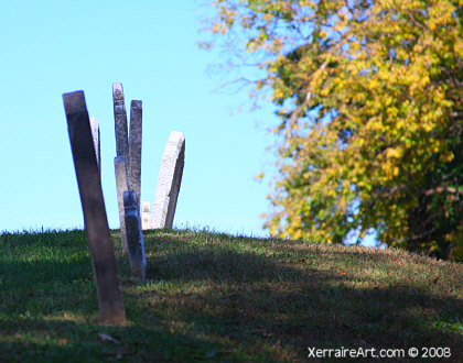
…to the cemetary!
He uttered some things I can’t repeat here. 🙁
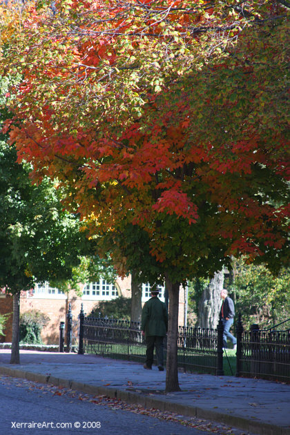
Unsure he was enjoying one of my most favorite places on earth, I then suggested we walk around town…
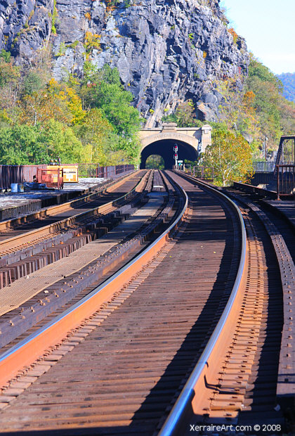
The Railroad is apparent in Harpers Ferry, in 1834 the B&O arrived to the town.
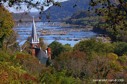
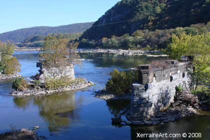
Harpers Ferry is beautiful, but one of the most rewarding vistas is from the bridge path crossing the two rivers.
After crossing, we are then on the Maryland side walking along another canal.
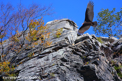
We saw a lot of turkey vultures, and gave our cameras a try in photographing them.
Back in town, we enjoyed a leisurely stroll back to the car.
I would love to know in miles how many we’ve walked since John arrived…and loaded with our camera gear, it’s been no small feat! In then end, I think John liked Harpers Ferry too.
Read more about Harpers Ferry
Web Cities Harpers Ferry
Wikipedia – Jefferson Rock
Wikipedia – Harpers Ferry
John Brown’s Historic Raid on Harpers Ferry
HarpersFerry.net